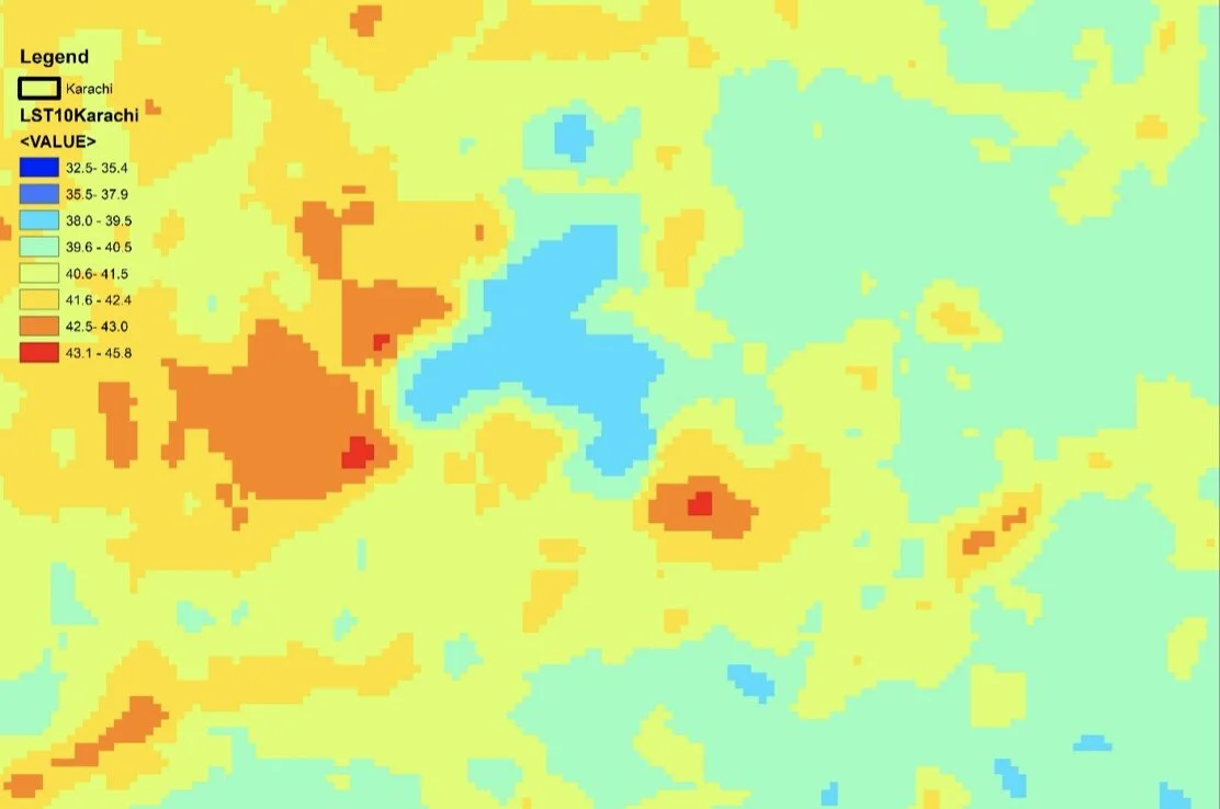
Mapping Heat and Cooling
The use of earth observation or satellite imagery to map urban heat onto residential neighbourhoods and green space has become an important technique of understanding the unequal distribution of thermal inequality in cities.
However, creating these kinds of maps in cities which have limited publically available GIS datasets, where non-standardised architectures create complete built environments, and where surface temperature records fail to accurately capture the distribution of urban heat creates novel challenges.
In Karachi, Jakarta and Hyderabad, we are working to build new maps of urban heat - generating novel, public datasets to inform planning and policy interventions.